Back
randonnee
Croix de Beauvoir footpath
Chindrieux
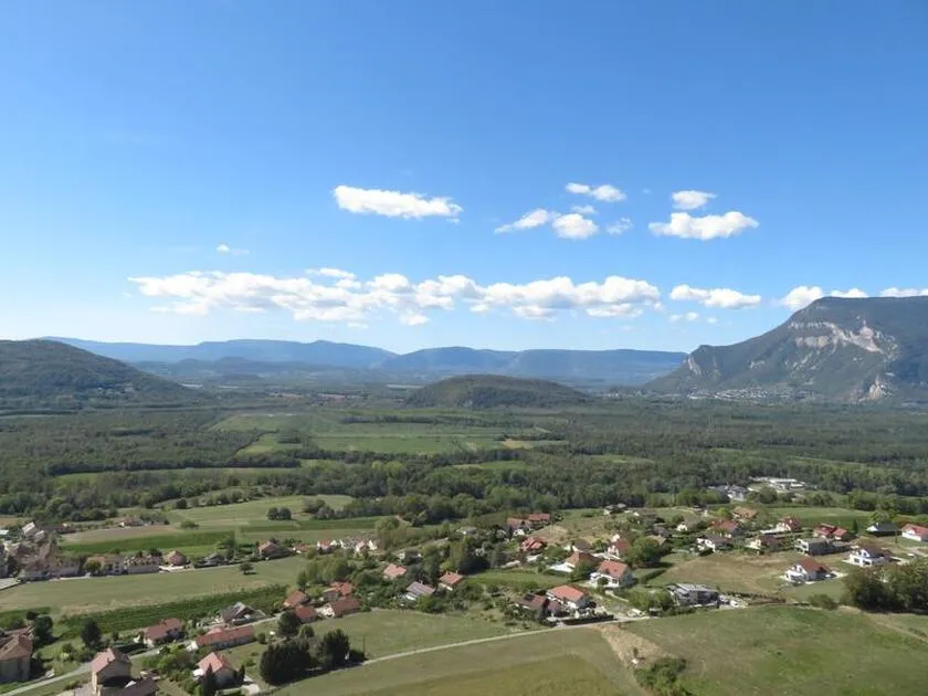
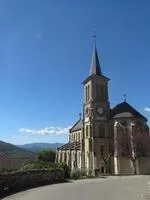
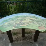
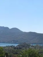
Viewpoint above the village of Chindrieux with 180° views of Lac du Bourget and Le Colombier.
Description
A short out-and-back route above Chindrieux.
Environments
-
 In the country
-
Lake view
-
Mountain view
-
Lake -5km away
-
Village -2 km away
-
Close to GR footpath
-
Panoramic view
-
Less than 10 minutes from a train station by car
-
10 - 20 min from a train station by bike
-
10 - 20 min from an SNCF station by electric bike
Itinerary
-
 Distance
1.3km
-
 Distance
Very easy
-
 Route type
Round trip
-
 Elevation gain
122m
-
 Elevation loss
122m
-
 Daily duration
00:45
-
 Marked hiking trail
Yes
-
 Average altitude
n/a
-
 Maximum altitude
447m
Opening period
All year round daily.
Subject to favorable weather.
Location
Pets
Pets allowed : Yes
Themes
-
Guidebook with maps/step-by-step : 1/ From the Chindrieux church parking lot, take the stairs up to the road which climbs up and passes the cemetery. Follow the dead-end road, then the gravel path on the left, as far as the Tigneux crossroads.
2/ Turn left (beware of slippery slopes in wet weather) to reach the Croix de Beauvoir lookout.
3/ Return in the opposite direction


Église
73310 Chindrieux
Phone number
-
Distance
1.3km
-
Daily duration
00:45
-
Difficulty level
Easy level
-
Elevation gain
122m
Plan yor hike