


 Back
randonnee
Hamlets walking tour
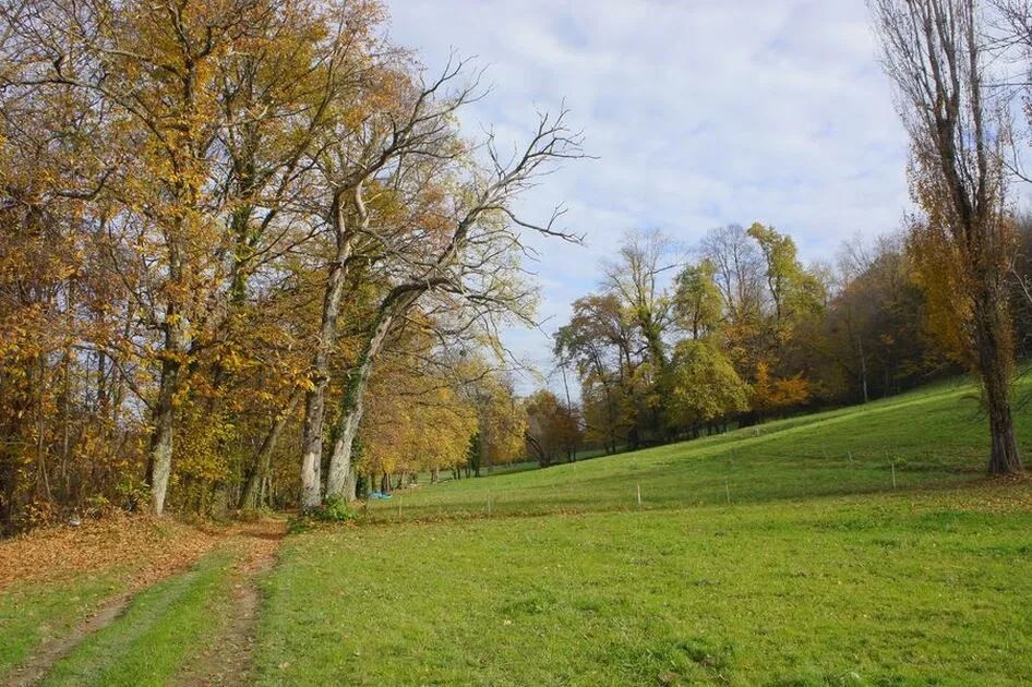

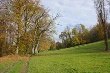
Discover the hamlets of Grésy-sur-Aix! Paths and small roads will help you discover the rural character of the commune.
Description
Undergrowth, grazing meadows, sunny market gardens: the route also offers superb views of the Revard mountains, Lac du Bourget and the Dent du Chat.
Itinerary
-
 Distance
5.6km
-
 Distance
Very easy
-
 Route type
LOOP
-
 Elevation gain
150m
-
 Elevation loss
150m
-
 Daily duration
02:00
-
 Marked hiking trail
Yes
-
 Average altitude
n/a
-
 Maximum altitude
464m
Opening period
All year round daily.
Subject to favorable weather.
Location
Pets
Pets allowed : No
Themes
-
Guidebook with maps/step-by-step : 1/ From the start sign in front of the town hall, turn left and follow the "tour des hameaux" signs. The route takes you past the church and the police
police station.
2/ At the Bogeys bend, turn right onto the forest track towards Les Combes. You enter the undergrowth before climbing back up towards
Les Ganets.
3/ At the crossroads, take the road on the left.
4/ At the hamlet of Les Ganets, continue in the direction of Le Tillet, then Donfarco, before rejoining the main road. Take care when crossing!
5/ At the Donfarco junction, the route leaves the road and climbs towards Les Fillards. Enjoy this unobstructed crossing as far as the hamlet of Les Choseaux.
6/ The path comes out onto the road. Turn right towards Le Gent.
7/ The descent meanders through housing estates. Turn left at the garbage can, then join Les Hautins.
8/ At the Le Gent traffic circle, turn right to return to the main town.


-
Distance
5.6km
-
Daily duration
02:00
-
Difficulty level
Easy level
-
Elevation gain
150m