Back
randonnee
Compostelle Savoie - Stage 1 - From the heights of Seyssel to Chanaz
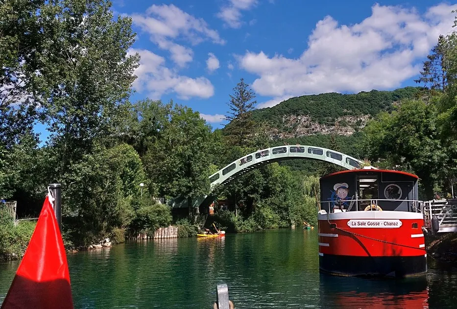
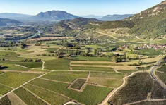
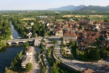
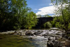
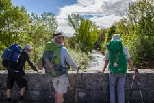
From Seyssel, the route follows the banks of the Rhône. You cross the Chautagne poplar grove before arriving at the pretty village of Chanaz, along the Canal de Savière.
Description
find all the itinerary stages on :
geneve-lepuy.chemindesaintjacques.com
www.amis-st-jacques.org
www.mongr.fr
Itinerary
-
 Distance
22km
-
 Distance
Moderate level
-
 Route type
One-way ticket
-
 Elevation gain
113m
-
 Elevation loss
374m
-
 Daily duration
06:00
-
 Marked hiking trail
Yes
-
 Précision balisage
Red and white GR
Coquille St Jacques de Compostelle
-
 Nature du terrain
Not suitable for strollers
-
 Average altitude
n/a
-
 Maximum altitude
n/a
Opening period
All year round daily.
Subject to favorable weather.
Location
Pets
Pets allowed : No
Themes
-
Guidebook with maps/step-by-step : + gps tracks of the 3 stages attached.
1/ DAY 1: Heights of Seyssel - Chanaz / Distance: 22 km / Duration: 6 h / Difference in altitude: + 113 m and - 374 m
An easy downhill stage from the heights of Seyssel to the pretty village of Chanaz, which welcomes 200,000 visitors every summer. While the first part of the stage leads to the confluence of the Fier and Rhône rivers, the second part takes in the Rhône basin, where man's mark on the landscape is very present in the form of housing, agriculture and industry.


-
Distance
22km
-
Daily duration
06:00
-
Difficulty level
Moderate level
-
Elevation gain
113m