


 Back
randonnee
DAY 5: From La Féclaz to Aix-les-Bains
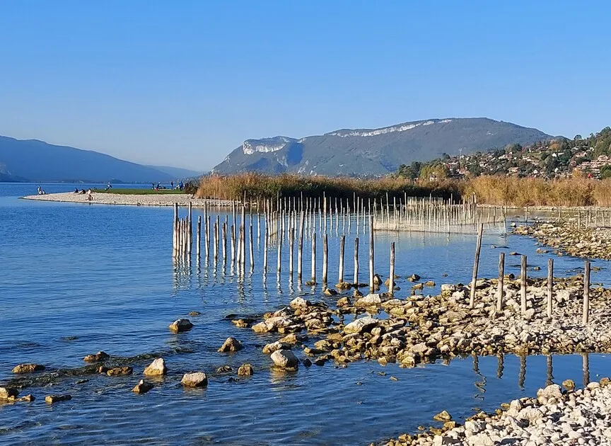
Crossing the plateau (1st Nordic site in France). A visit to the Revard belvedere and its superb view of Lac du Bourget. The descent to Aix via the old cogwheel railroad: 100 years of history in the making!
Environments
-
 Mountain location
Itinerary
-
 Distance
16.5km
-
 Distance
Moderate level
-
 Route type
One-way ticket
-
 Elevation gain
200m
-
 Elevation loss
1250m
-
 Daily duration
05:40
-
 Marked hiking trail
Yes
-
 Précision balisage
GRP - GR
-
 Nature du terrain
Not suitable for strollers
-
 Average altitude
n/a
-
 Maximum altitude
n/a
Opening period
From 15/05 to 15/10 daily.
Subject to favorable snow and weather conditions.
Location
Pets
Pets allowed : No
Themes
-
Guidebook with maps/step-by-step : 5/ 1 - Leave La Féclaz and head into the vast Revard forest above the grooming machine area. - 2- Continue past the accrobranche course and the sled dog area. - 3- The trail passes the Pas du Rebolion and then the Gaillarde gîte (dog-sled farm - another possible stopover). - 4- Cross the Aix/Le Revard road to climb up to the Revard belvedere. Cross the alpine garden, and touch on the other "Revard loops". - 5- At the Crémaillère crossroads, go down the old train track and, a kilometer and a half further on, take the Pré-Farnier tunnel (115 m long) then reach the old Pré-Japert station (1,051 m). - 6- Continue downhill, passing through the Pré-Japert tunnel and then the spectacular Fontanettes viaduct (100 m long). Through the hamlet of Les Exertiers (644 m), continue down the Crémaillère, sometimes elevated, sometimes in a trench, until you cross the D 913. Reach the old Mouxy railway station. - 7- Take small roads to the left to reach the center of Mouxy, and after the town hall, turn right to cross the sports field. Cross the A41 over a bridge. At the traffic circle, turn left onto chemin des Bugnards. Via route du Sarto, then chemin du Biollay-sur-Roche and chemin de l'Hermitage, reach the entrance to Bois Vidal. - 8- Cross the park, then down boulevard de la Roche-du-Roi. Take avenue Charles-De-Gaulle to the Aix-les-Bains SNCF train station.
Please note: The upper section of the Crémaillère itinerary in the communes of Trévignin - Le Montcel - Pugny-Chatenod is currently closed for works (scheduled for completion in October 2024).
A detour via the Golet de la Pierre trail has been set up.


-
Distance
16.5km
-
Daily duration
05:40
-
Difficulty level
Moderate level
-
Elevation gain
200m