


 Back
randonnee
The Charvaz Summit
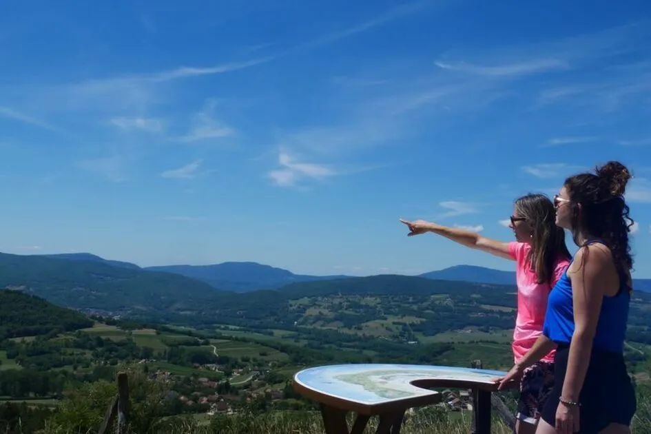
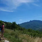
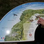
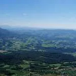
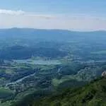
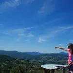
A lovely hiking on the west part of Charvaz mountain. On the top, discover the panoramic view on the Bugey area wineyard and the Alps.
Description
The hike begins in the welcoming village of Billième, nestled on the slopes of La Charvaz.
The path climbs gently up through the vineyards, which sunbathe quietly on the hillside.
Above, the forest offers protective shade and the climb continues steadily upwards. Then the slope becomes steeper and the climb a little steeper at the end.
But what a sight it is to arrive at the summit! The first viewpoint reveals the Dent du Chat and the Bauges mountains.
And there's more to come! A little further on, a second panorama of the vineyards, the Rhône canal, the Bugey region and the Alps awaits you.
You may even be lucky enough to observe the majestic flight of one of the nesting birds of prey that have made their home on the Charvaz cliffs.
What's on your mind? Wouldn't this be an ideal spot for a picnic?
[Recommendations for visitors:
- Be sure to stay on the signposted paths.
- Let’s respect protected and classified areas such as the Jongieux–Marestel Vineyard Site.
- Let’s collect and take away our waste.
- Let the flowers grow.
- Respect the winegrowers, producers, and farmers who work all year long in their vineyards and fields.
- Let’s be discreet and keep noise to a minimum.]
Environments
-
 In the country
-
Mountain view
-
View over the vineyards
Itinerary
-
 Distance
11.5km
-
 Distance
Difficult
-
 Route type
Round trip
-
 Elevation gain
800m
-
 Elevation loss
800m
-
 Daily duration
04:30
-
 Marked hiking trail
Yes
-
 Nature du terrain
Grit
-
 Average altitude
n/a
-
 Maximum altitude
1158m
Opening period
All year round daily.
Location
Pets
Pets allowed : Yes
Themes
-
Guidebook with maps/step-by-step : Departure point: from the Mairie parking lot 415 m, take the road heading uphill.
1/ At the top, at "La Maison blanche" (450 m), head for "Les Jacquins".
2/ At "Les Jacquins", continue along the narrow road, then take the path on the right between vineyards and meadows.
3/ Continue to "Mollairon" 620 m. Orientation table 50 m away.
4/ Then head for "Le Chapieu" then "Sur le Crêtet" on the forest track.
5/ At the sign for "Le Poulailler" (995 m), leave the track and climb to the left.
6/ At the summit "Sous la Charvaz" 1092 m, enjoy 2 summits and 2 panoramas!
For the return journey, take the path taken on the way up to "Sur le Crêtet".
7/ Take the path opposite
8/ Follow the path up to "Le Mollairon" back to the start.


-
Distance
11.5km
-
Daily duration
04:30
-
Difficulty level
Difficult
-
Elevation gain
800m