Back
randonnee
Mont Landard Hiking Trail
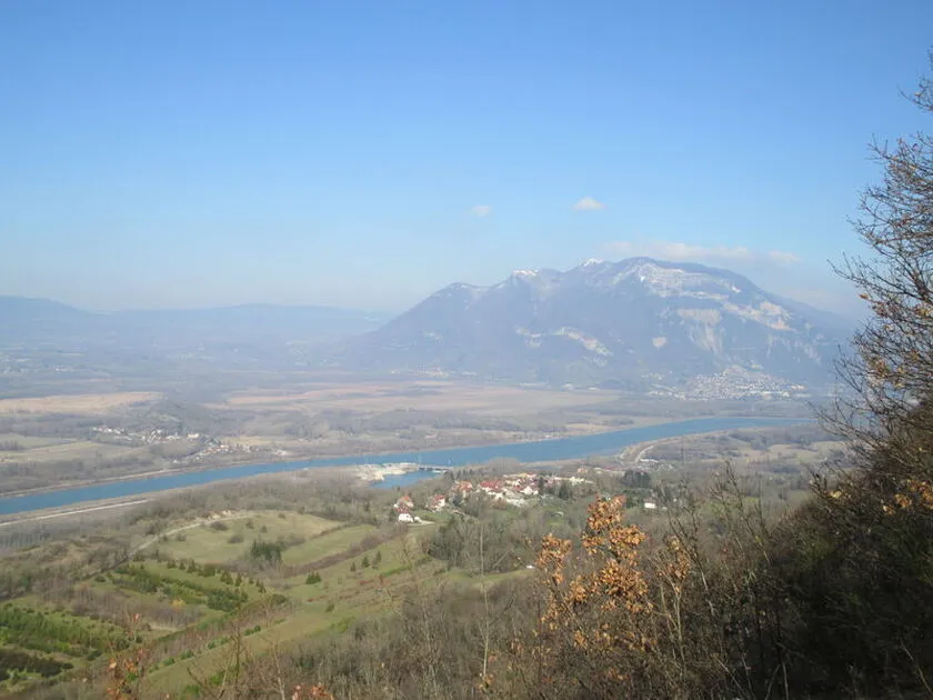
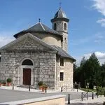
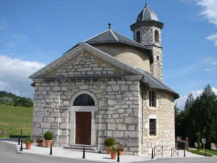
Set off for a hike in the countryside, in search of its floristic treasures: wood anemones and dog-toothed violets. Discover the village rotunda church, unique in the Department. A detour to the lookout will take you over the Rhône River.
Environments
-
 In the country
-
Village -2 km away
Itinerary
-
 Distance
6.8km
-
 Distance
Moderate level
-
 Route type
LOOP
-
 Elevation gain
307m
-
 Elevation loss
307m
-
 Daily duration
02:30
-
 Marked hiking trail
Yes
-
 Average altitude
n/a
-
 Maximum altitude
570m
Opening period
All year round daily between 8 am and 5 pm.
Subject to favorable snow and weather conditions.
Accessible tourism
-
Not accessible in a wheelchair
Location
Pets
Pets allowed : Yes
Themes
-
Guidebook with maps/step-by-step : 1/ From the Quinfieux parking lot, across from the restaurant, turn left, then head up the hill on the right until you reach the church. Continue straight toward the hamlets of Curtille and then Le Mollard.
2/ After the curves, take the gravel path on the right.
3/ Go around Pomboz Castle, continue on the road to the left, then turn left again into the forest (signposted “Mont Landard 463m”)
4/ At the “La Taille” sign, you can take the round-trip trail to the lookout on the left or continue on the forest trail to the right.
5/ At the “Dessous Mont Landard” intersection, continue straight ahead.
6/ Exit the forest and, at the intersection with the departmental road, turn right. Pass through the hamlet of Morin and head to the parking lot.


-
Distance
6.8km
-
Daily duration
02:30
-
Difficulty level
Moderate level
-
Elevation gain
307m